Advanced Search
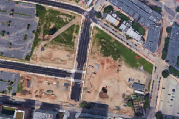
Google Earth satellite photo of the Drexel construction site where University City High School once stood. This image begs comparison with the Philadelphia Evening Bulletin’s 1968 aerial photo of the site (see on this website “University City High School” in the Once the Black Bottom collection).
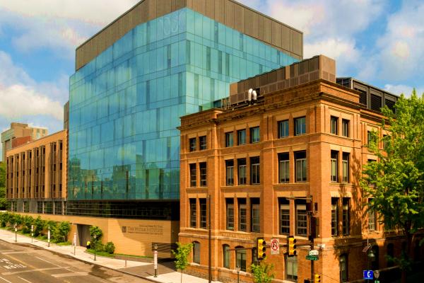
Contemporary photo of the Wistar Institute, a world-class biomedical research center; the view is from the Hospital of the University of Pennsylvania (HUP) across Spruce Street.
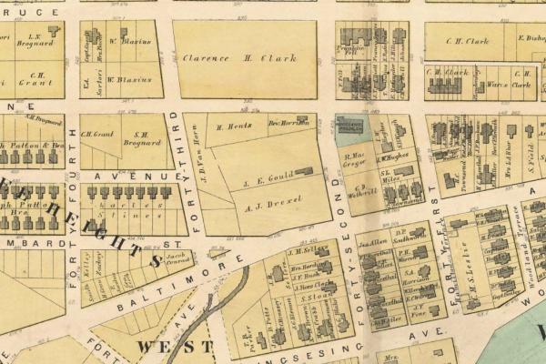
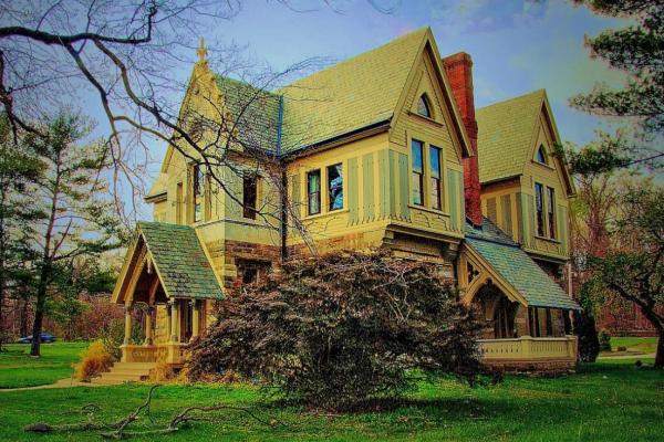
Satterlee Heights was earmarked by speculators for residential development between 1870 and 1880. The name had disappeared from City atlases by the turn of the 20th century.
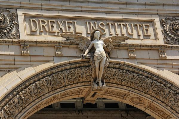
The façade of Main Building, which opened as the home of the Drexel Institute in 1891, has been luminously maintained over the past 120 years, its striking ornamental features meticulously preserved.
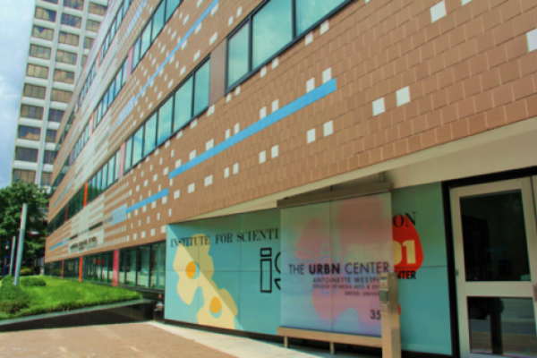
In 1979, the architectural firm Venturi, Scott Brown & Associates completed this headquarters building for an international scientific information service in the Science Center at 3501 Market St. In 2013, the Venturi building was spectacularly renovated as Drexel’s URBN Center, which houses the University’s Westphal College of Media Arts & Design.
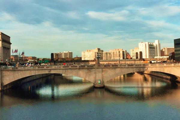
Looking north from the Chestnut St. Bridge, this contemporary view of the Market St. Bridge shows 30th St. Station (left-center) and the Philadelphia Art Museum (left-background).
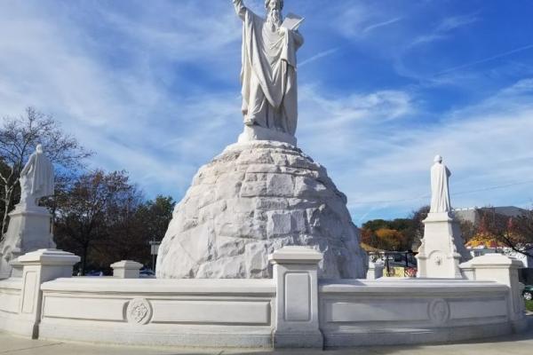
Installed for the Centennial Exposition at the foot of George’s Hill, the Catholic Total Abstinence Fountain today stands in the traffic circle below the Mann Center for Performing Arts.
States represented at the Centennial Exposition typically constructed a headquarters building for managing the state’s activities at the fair. Ohio House, shown here in its location near Belmont Avenue, incorporated rock from the state’s sandstone quarries and advertised the quarries. Ohio House, Memorial Hall, and two Horticultural Hall “comfort” stations are the only buildings that remain from the massive Exposition.
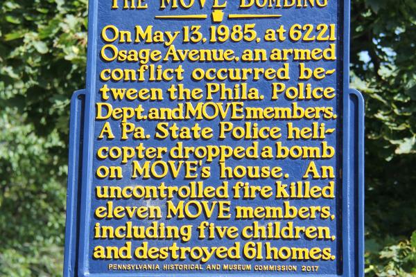
Students at the Jubilee School, a private middle-school at 42nd and Chester streets, researched the 1985 MOVE bombing and successfully campaigned for the State Historical Marker installed on the southeast corner of Osage Avenue and Cobbs Creek Parkway in the summer of 2017.