Centennial Exposition Map: Chromatic View
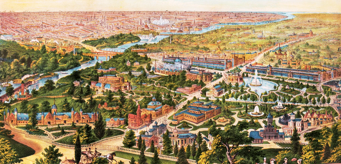
This colorful lithograph shows the landscape and buildings of the 1876 Centennial Exposition. The view is north to southeast and south, with the Schuylkill River on the left. The fair’s ornate Agricultural Building (lower left) straddles the northern boundary of the Exposition. Belmont Avenue bisects the Exposition from north to south, with Memorial Hall and Main Hall on the east side of that street (upper center) and Machinery Hall on the west side (upper right, behind the fountain).
1876
Copyright
Attribution/Credit
Library of Congress Geography & Map Division