Hestonville in 1861
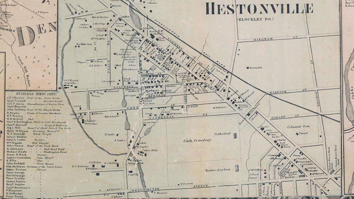
Hestonville at the time of the Civil War, showing considerable growth over the previous decade.
1861
Copyright
Attribution/Credit
“Map of the Vicinity of Philadelphia, from Actual Surveys, 1861, Plate 6-B; Southeast Suburbs,” Free Library of Philadelphia Map Collection