Advanced Search
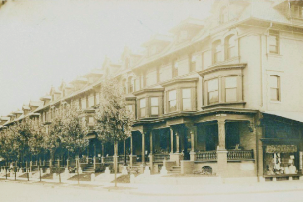
Middle class rowhouses appeared at the turn of the last century in blocks around 52nd St. These semi-detached houses, which targeted Philadelphia’s rising professional class, were narrower, with less square footage, than the mid-century houses (for example, Woodland Terrace) that had attracted wealthy Philadelphians.
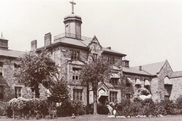
This photo from the turn of the last century shows Catholic Sisters with young children on the grounds of St. John’s Orphan Asylum, located at 49th St. and Wyalusing Ave. The asylum was built sometime before 1872.
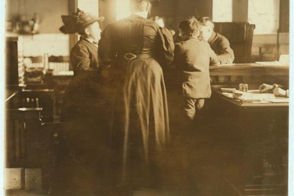
Juvenile court in St. Louis; A judge hearing a case about a "street boy" who was a "habitual truant." Hannah Schoff was part of a movement led by progressive women at the turn of the century to establish such courts in the nation's cities.

In the early 20th century, the University of Pennsylvania campus was divided by Woodland Avenue.
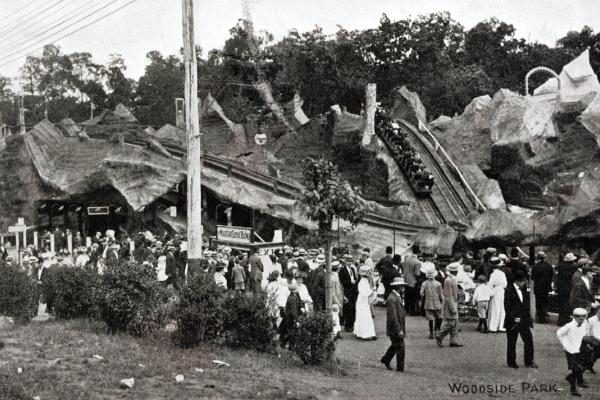
A postcard featuring one of Woodside Park's early rollercoasters.
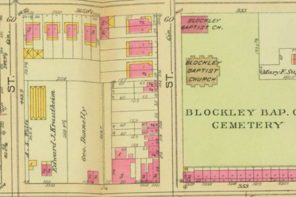
This map shows the block where a rogue abattoir operated between 53rd and 54th streets in West Philadelphia.
Between 1890 and 1910, Haddington saw rapid, densely concentrated residential development in the blocks between 59th and 63rd streets from Market to Vine St. Hundreds of rowhouses appear on this section of J.L. Smith’s 1911 map.
Some thirty years after the Sheep Brokers Association occupied Hestonville blocks on the north side of Lancaster Avenue between 50th and 52nd streets, row housing development dominated the former Sheep Brokers site.
As of 1911, the Northwinster Presbyterian Church held sway over the sample blocks.
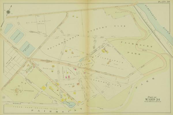
Shown here on a 1912 ward map, Woodside Amusement Park opened in 1897.
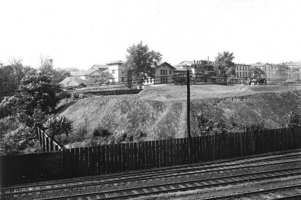
Philadelphia General Hospital, formerly Blockley Almshouse, photographed in 1913, when the institution was transitioning to become exclusively a public hospital. The view is west and uphill from the trestle of the Pennsylvania Railroad.
