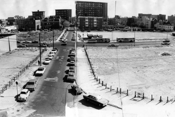
University Redevelopment Area Unit 3 came to represent the divide between university and community after residents were displaced as part of the creation of the University City Science Center.
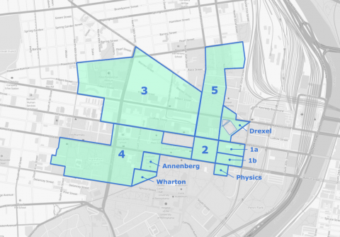
This map, recreated from the Redevelopment Authority's 1965 Annual Report, represents the approximate boundaries of the major initiatives from 1948–1965.
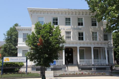
Drexel University’s Dornsife Center for Community Partnership opened in 2014 on a site in Mantua, approximately a half-mile from the campus’s historic core.
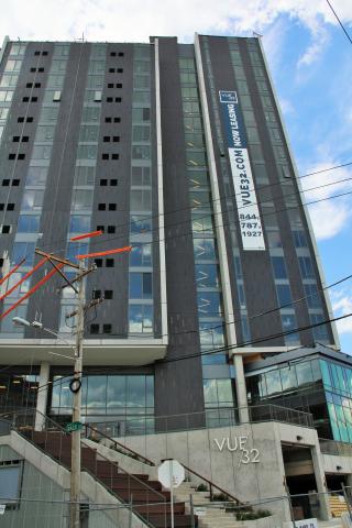
Vue32, a 16-story mixed-use apartment tower, stands on a high ridge on the eastern boundary of Drexel University’s campus, overlooking the Amtrak – SEPTA railyards and affording dramatic views of Center City.
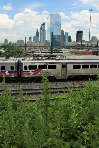
View east from a ridge on Drexel University’s boundary that overlooks the Amtrak–SEPTA rail yards, the long-term, projected site of an over-build for development of University City’s Drexel-centric Innovation Neighborhood.
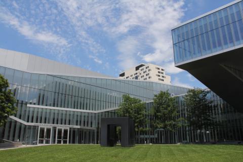
Opened in 2011 on Chestnut Street near the corner of 33rd Street, the Papadakis Integrated Sciences Building honors the memory of Drexel’s transformative president Constantine Papadakis.
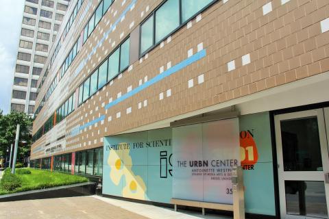
The URBN Center houses Drexel's Westphal College of Media Arts and Design. Behind the building, on a Unit 3 property, is Drexel's Pearlstein Gallery in the URBN Center Annex.
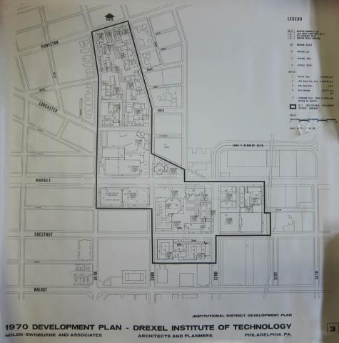
Drexel’s campus expansion, funded by federal and city urban renewal dollars in the decades following World War II, brought the University into conflict, first with Penn and then with Drexel’s neighbors in Powelton Village.