Map of Blockley Township 1849
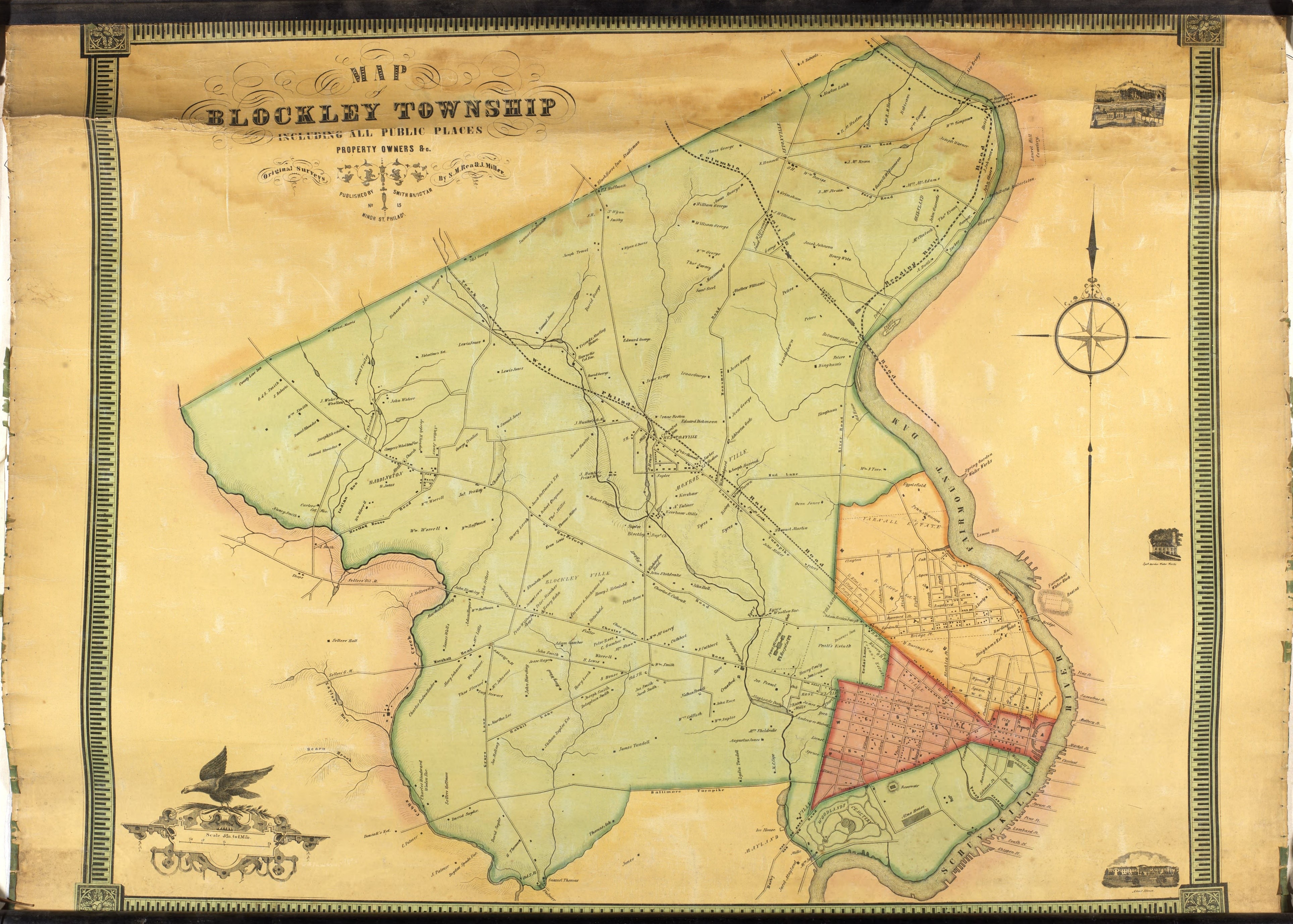
Mill Creek in the mid-19th century, shown here flowing southeast from Mill Pond and Maylander Dam
1849
Copyright
Attribution/Credit
S.M. Rea and J. Miller, Map of Blockley Township. Image made available by University of Pennsylvania Archives and Records Center.