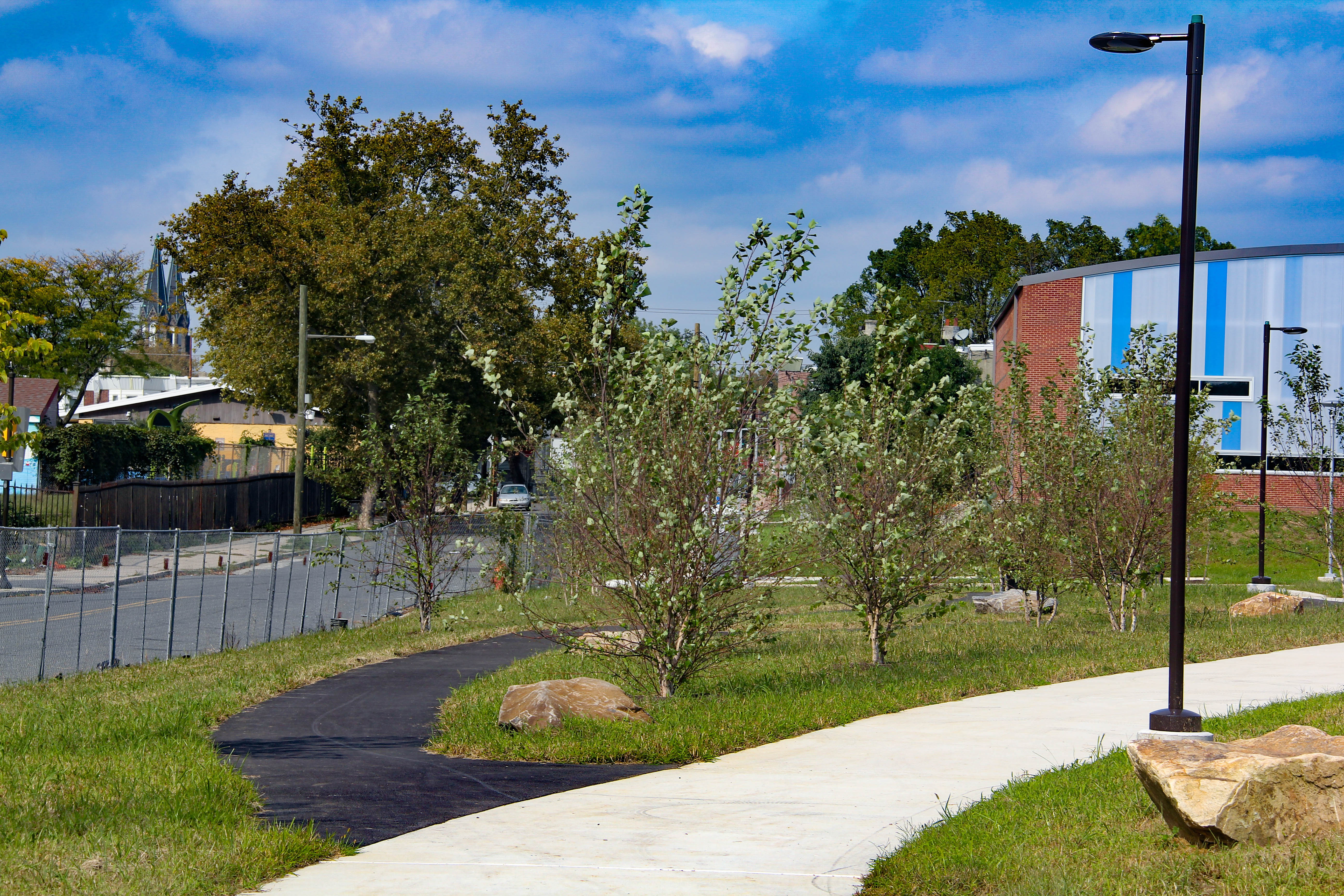
Mill Creek's Buried Floodplain

Contemporary photo of the footprint of Mill Creek's buried floodplain, following 47th Street, between Fairmount Avenue and Aspen Street, below the embankment of the former Sulzberger Middle School. The 1927 Atlas of West Philadelphia (G.W. and W.S. Bromley), plate 6, shows numerous rows in this swath.
2018
Copyright
Attribution/Credit
John L. Puckett