This map, recreated from the Redevelopment Authority's 1965 Annual Report, represents the approximate boundaries of the major initiatives from 1948–1965.
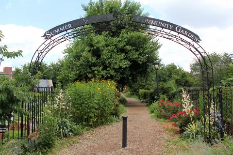
This community garden, named for Powelton Village’s Summer and Winter streets, was created on University Redevelopment Area Unit 5 on a block-square that was off limits for campus expansion.
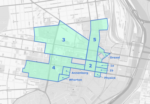
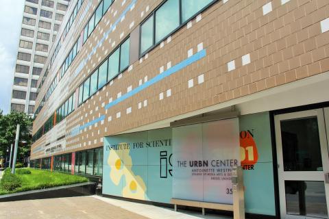
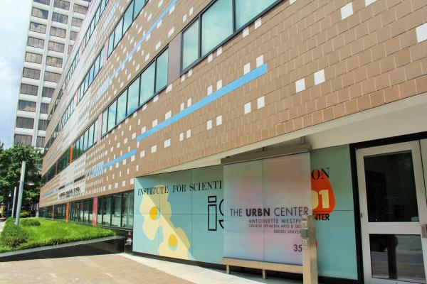
The URBN Center houses Drexel's Westphal College of Media Arts and Design. Behind the building, on a Unit 3 property, is Drexel's Pearlstein Gallery in the URBN Center Annex.
The Drexel Institute had only a peripheral and grudging involvement in the creation of the University City Science Center, a project of the West Philadelphia Corporation (WPC) in Unit 3.
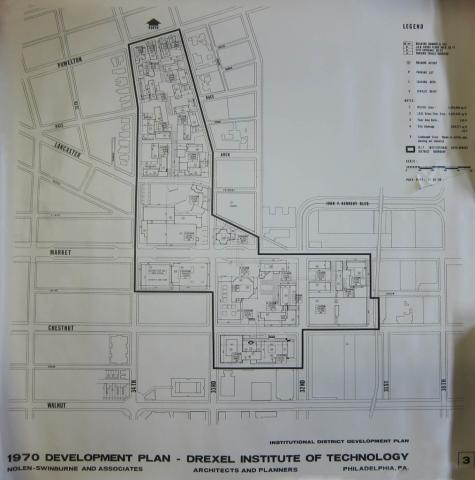
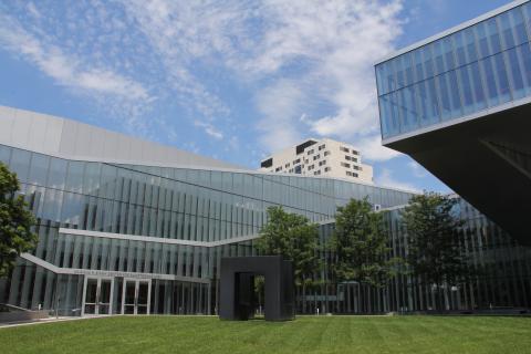
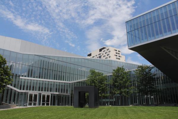
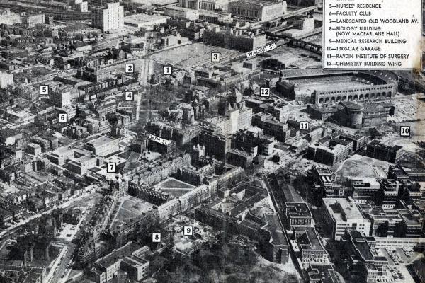
The Drexel Institute of Technology’s successful efforts to receive half of University Redevelopment Area Unit 1—originally designated exclusively for the University of Pennsylvania’s campus expansion—asserted the Institute’s importance as a rising educational institution in West Philadelphia.
In the 1960s, the University expanded west and north in Redevelopment Authority Unit 4, drawing upon both federal and state urban renewal building funds.
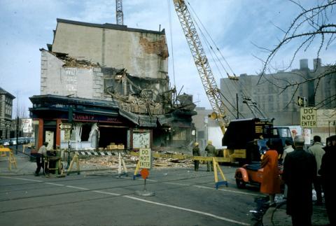
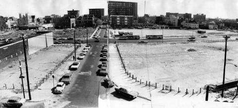
Image shows Market Street between 34th and 40th Streets following demolition for redevelopment projects. The area shown was once the heart of "Black Bottom," a former neighborhood in West Philadelphia.