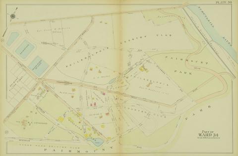
Shown here on a 1912 ward map, Woodside Amusement Park opened in 1897.
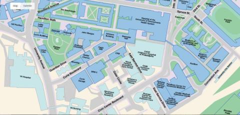
This contemporary map shows the major buildings in the Penn Medicine and CHOP healthcare complex.
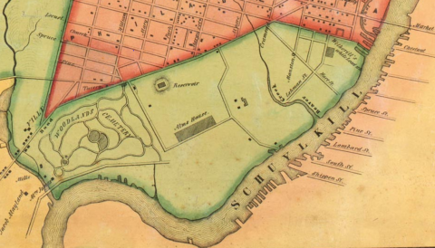
Map of Blockley Township showing location of Blockley Almshouse in 1849.
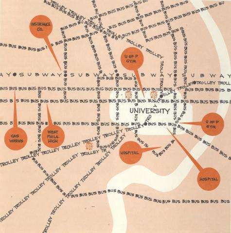
A map showing the locations of the three school houses (marked with the orange WPCFS logo) and available transportation.
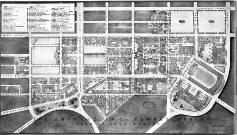
The Martin Plan, as illustrated by this map from the original report, proposed expanding the University of Pennsylvania campus over portions of Woodland Avenue.