Advanced Search
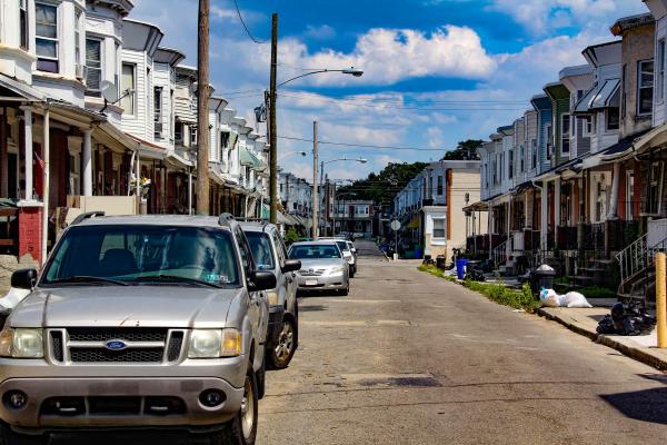
Looking north, Haddington rowhouses on Spring St., near intersection with Race.
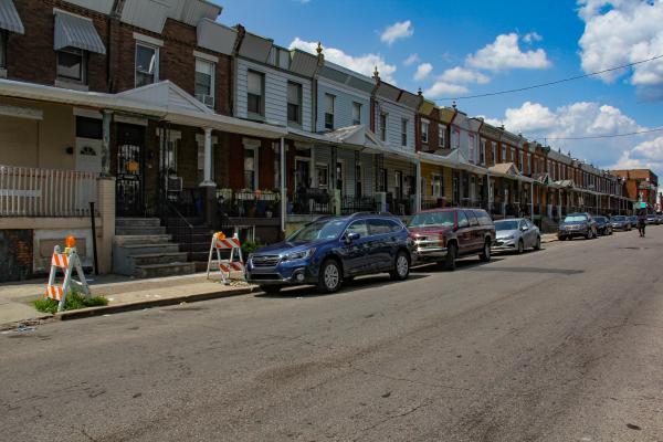
Rowhouses on 56th St. between Market and Arch, just north of the Market Street Elevated.
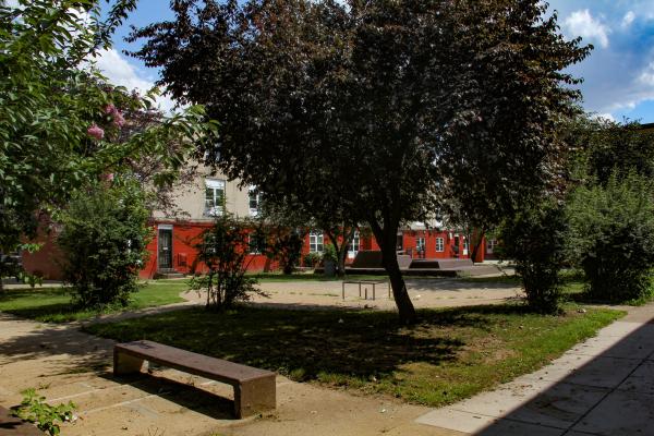
The image is a courtyard in Haddington Homes, on the south side of the 5500 block of Vine St.
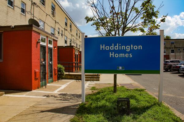
Post-Millennial row housing as public housing, an adoption of the name assigned to Haddington’s 1950s–60s used house program. Haddington Homes and Arch Homes have the same design and landscape arrangements.
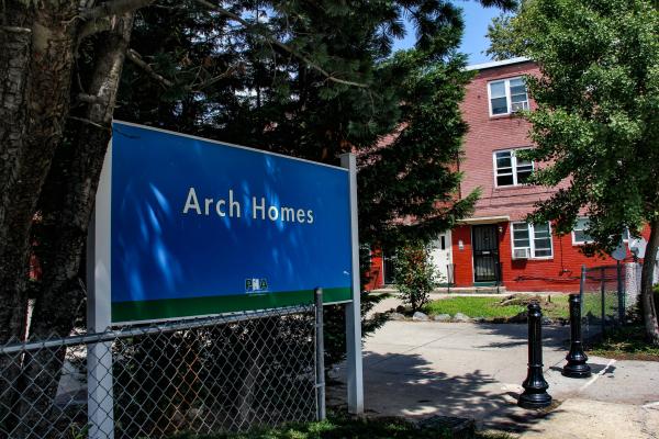
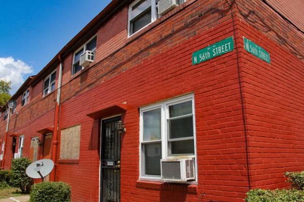
This photo shows the entrance to the Housing Authority’s Arch Homes project at 56th and Arch St. Post-Millennial row housing built as public housing.
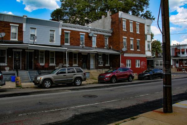
This photo shows a few vintage rowhouses on Race St. between 56th and Vodges—more houses of the kind that were targeted for the Housing Authority’s used house program.
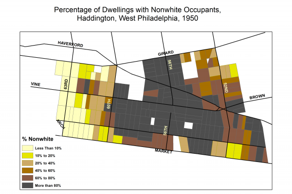
This 1950 digital census map shows nonwhite housing occupancy in Haddington’s core blocks between 52nd and 60th streets.
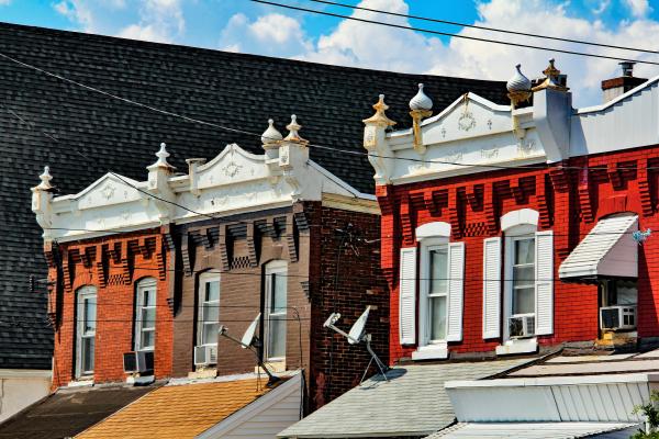
By the 1950s, vintage rowhouses of this kind on the 5501 block of Vine Street were decaying or abandoned. The Public Housing Authority proposed to conserve 200 single homes to be occupied by single families, in the Authority’s first experiment with used housing.
In 1940, 5533 Vine St., the house shown at right in this photo, was the home of Robert Jones, age 49, an African American laborer in building and construction, whose family had resided here as early as 1935. Jones and his wife, Eleonora, age 42, were participants in the Great Migration, born in Georgia and Virginia respectively. Both had seven years of education. Likely a victim of the era’s depressed housing market, in which blacks were the last hired, Robert was unemployed throughout 1939 into 1940. Eleonora was employed for 60 hours weekly throughout 1939 as a maid. Her earnings of $600 for the year ($11,057 in 2019 dollars) may have been this poor family’s only source of income. Their daughter, Eleonora, age 14, was born in Pennsylvania, a fact that suggests the Joneses had migrated north at least by the mid-1920s.
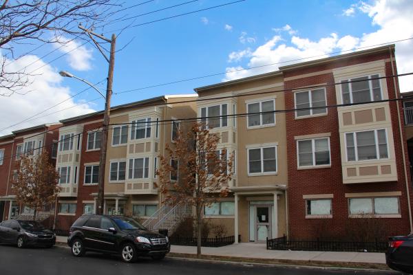
Mantua Square, a Philadelphia Housing Authority redevelopment project at 35th St. & Fairmount Ave., constructed on the former site of Mantua Hall, an 18-storey high-rise apartment building that was demolished in 2008.
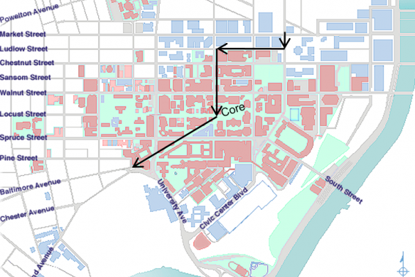
This contemporary map shows the route of subway-surface cars from the SEPTA station at 31st and Market streets below the Drexel and Penn campuses. Underground stations are located at 33rd and Market (Drexel), 36th and Sansom (Penn), and 37th and Spruce (Penn). Subway cars leave the tunnel and surface through a portal at 40th Street, where the cars convert to overhead powerlines. These are the familiar electric trolleys that today ply Woodland and Baltimore avenues.
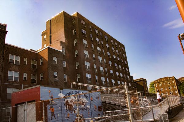
The contemporary view here is from the stands that face the west side of Pollock Field.
