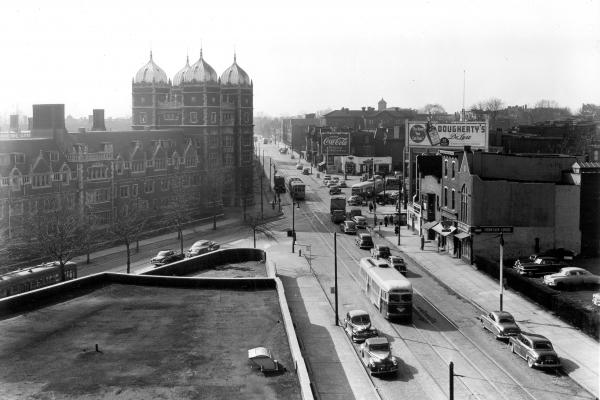
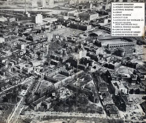
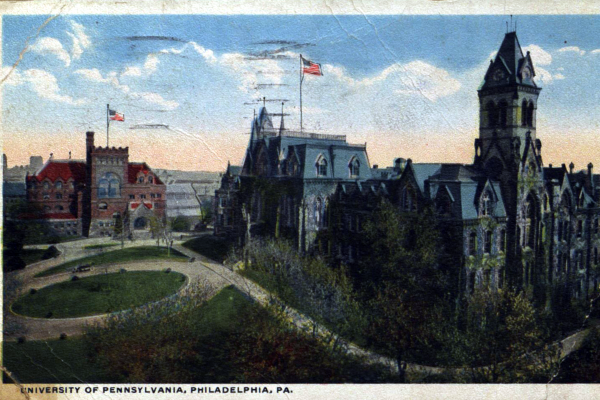
In the 1950s, the City facilitated Penn’s plans to create its modern pedestrian campus by putting the Penn trolleys underground and deeding the footprint of Woodland Avenue to the University.
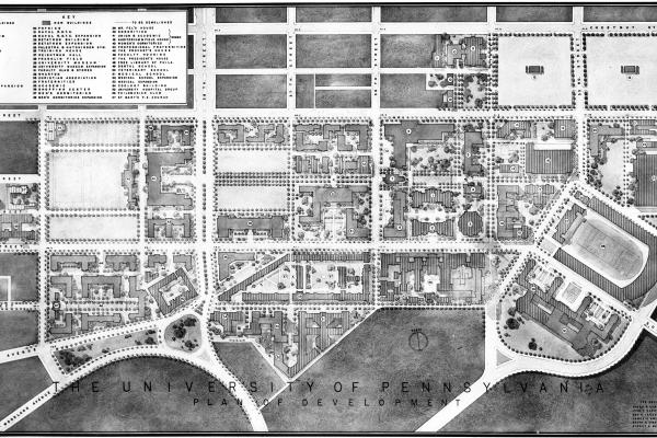
In the first half of the twentieth century, two campus plans—the Cret Report of 1913 and the Martin Report of 1948—called for the creation of a pedestrian campus free of urban congestion.
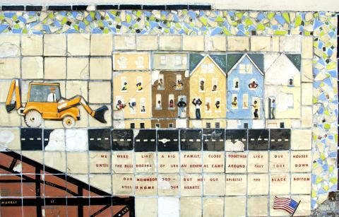
A memorial for the Black Bottom neighborhood—removed for the construction of the University City Science Center in University Redevelopment Unit 3—was displayed on a wall of the University City High School until the school was demolished in 2015. More images of and information about the mural are available on philart.net.
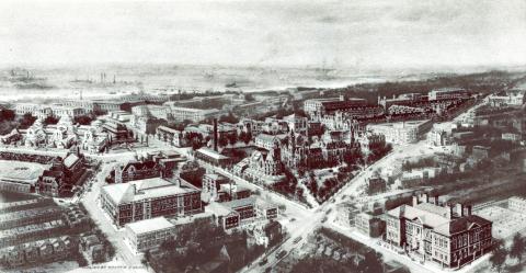
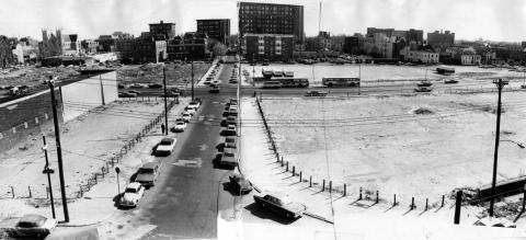
Image shows Market Street between 34th and 40th Streets following demolition for redevelopment projects. The area shown was once the heart of "Black Bottom," a former neighborhood in West Philadelphia.
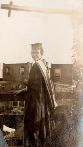
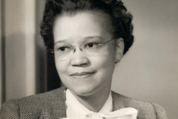
Sadie Alexander broke barriers of race and gender as the first African American woman to achieve many accomplishments, and she worked diligently to open opportunities for others to follow in her footsteps.